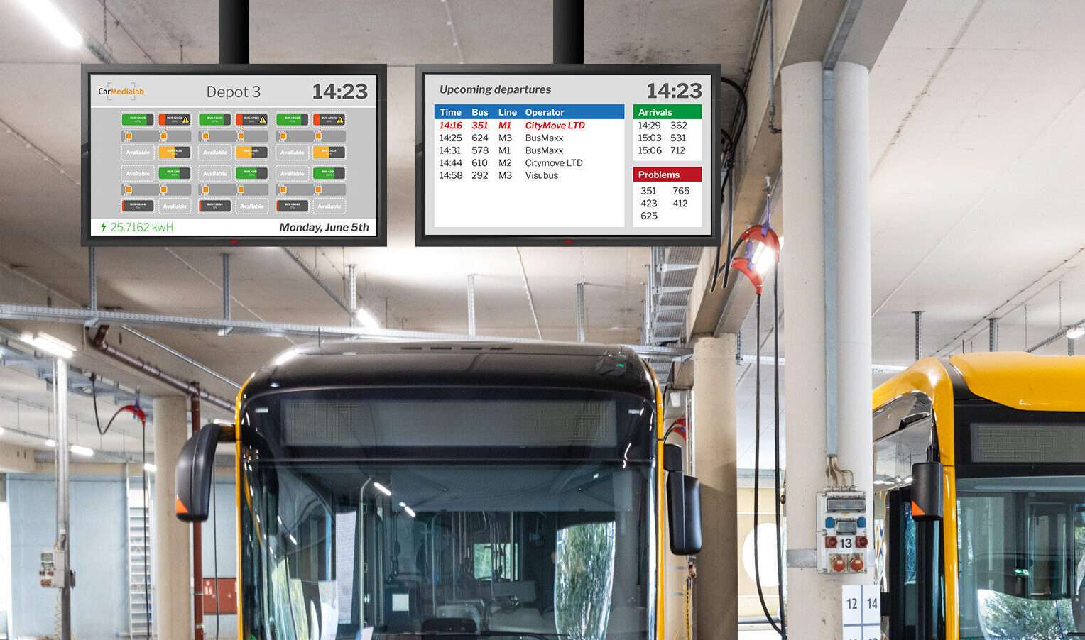
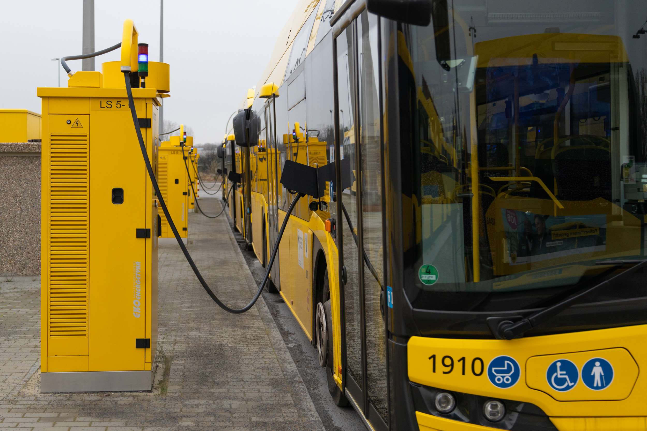
Your bus depot at a glance
CarMedialab’s charge management solution MOBILEcharge has been supporting transport companies for years in the efficient organisation of the charging infrastructure for electric buses. With the new Depot Map View feature, you now have a tool that gives you a precise overview of the operations within your charge management software.
Realistic presentation of the charging stations
The Depot Map View is a visual representation of your entire depot. The web application allows you to upload a schematic background image of your depot – such as a satellite image, a technical drawing or a site plan. In this modifiable, graphical view, you can arrange your charging stations exactly as they are located in real life.
The intuitive drag-and-drop function makes it easy to move the individual stations so that the view corresponds exactly to your actual depot structure. This means that you can not only see all charging points at a glance, but also track their exact location directly in the software.
This is how the Depot Map View works
The Depot Map View is very easy to use:
- Upload a background graphic: Upload a photo or graphic that shows your depot schematically or from a bird’s eye view.
- Arrange charging stations: Use the drag and drop function to place the charging stations at their real locations in the depot.
- Edit mode: You can adjust the view and change the layout of your charging infrastructure at any time – according to your operational requirements.
The advantages of the Depot Map View
In addition to the clarity, which is already a major advantage, the Depot Map View offers numerous other practical functions for operation.
Save time and plan your charging more efficiently: the depot map view shows you at a glance which charging stations are available, eliminating the time-consuming search for free charging stations. This not only saves valuable time, but also optimises route planning to the nearest charging stations. Especially at peak times, when quick decisions have to be made, the depot map view helps to find the right charging stations quickly and to park the buses efficiently at the respective charging stations.
Faster transfer of information to the driver: The immediate visual availability of charging information means that drivers can be quickly informed of the location of the next available charging point, or whether the charge level of a particular bus is sufficient. This improves communication and contributes to smooth operation.
Improved overview of buses and charging status: In addition to the occupancy of the charging stations, the Depot Map View also shows which bus is at which station and the charging status. This provides a clear overview and makes it easier to manage the charging process, especially when different charging processes such as slow or fast charging have to be coordinated.
Summary: Faster deployment through clarity
The new Depot Map View function in MOBILEcharge provides a clearly structured and intuitive display of the charging infrastructure in the depot. The flexible arrangement of the charging stations and the quick overview of the processes not only make the management of the charging processes easier, but also more efficient.
Transport companies benefit not only from a better overview, but also from faster decision-making processes and more efficient use of their charging infrastructure. In addition, the Depot Map View saves time by making it easier to find free charging stations and by quickly providing charging status information, which speeds up the entire charging process.
Want to learn more?
Would you like to see the new feature in a live demo or find out more about other functions in MOBILEcharge? Please do not hesitate to contact us.
In cooperation with INIT, the world’s leading provider of integrated IT solutions for public transportation, we have developed solutions aimed at giving you a better overview of your bus fleet. Use the data from your vehicles and charging stations to your advantage.


